River Brun
Introduction
The photograph on this page of River Brun by Kevin Rushton as part of the Geograph project.
The Geograph project started in 2005 with the aim of publishing, organising and preserving representative images for every square kilometre of Great Britain, Ireland and the Isle of Man.

There are currently over 7.5m images from over 14,400 individuals and you can help contribute to the project by visiting https://www.geograph.org.uk
River Brun
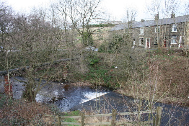
Image: © Kevin Rushton Taken: 3 Feb 2008
Waterfall at Brownside Bridge
Images are licensed for reuse under creativecommons.org/licenses/by-sa/2.0
Image Location
Latitude
53.787923
Longitude
-2.205172