The Bridgend Circular Walk just south of the A48 by Laleston
Introduction
The photograph on this page of The Bridgend Circular Walk just south of the A48 by Laleston by eswales as part of the Geograph project.
The Geograph project started in 2005 with the aim of publishing, organising and preserving representative images for every square kilometre of Great Britain, Ireland and the Isle of Man.

There are currently over 7.5m images from over 14,400 individuals and you can help contribute to the project by visiting https://www.geograph.org.uk
The Bridgend Circular Walk just south of the A48 by Laleston
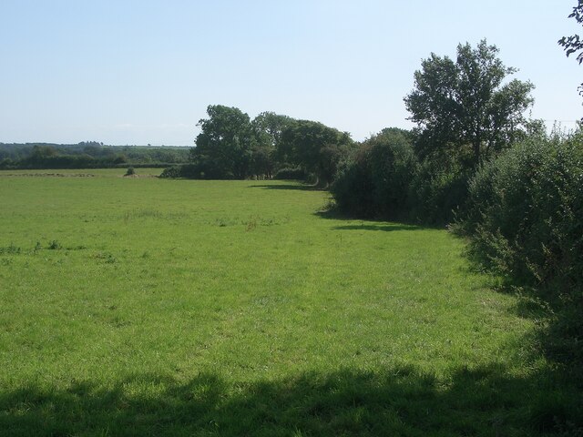
Image: © eswales Taken: 24 Aug 2021
This is the first field south of the A48 passed through on the Circular Walk (if tackled in an anti-clockwise direction). After entering the field from the side of the A48 those doing the walk proceed part way along the line of trees and bushes seen and then turn right into a second field via a gate. This gate is seen in Image As it does for much of its length, the Circular Walk here runs along a public footpath.
Images are licensed for reuse under creativecommons.org/licenses/by-sa/2.0
Image Location
Latitude
51.499771
Longitude
-3.618091