Sweetwoods Park Golf Course
Introduction
The photograph on this page of Sweetwoods Park Golf Course by Simon Carey as part of the Geograph project.
The Geograph project started in 2005 with the aim of publishing, organising and preserving representative images for every square kilometre of Great Britain, Ireland and the Isle of Man.

There are currently over 7.5m images from over 14,400 individuals and you can help contribute to the project by visiting https://www.geograph.org.uk
Sweetwoods Park Golf Course
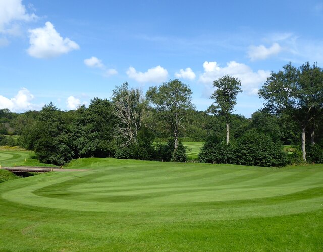
Image: © Simon Carey Taken: 24 Aug 2021
The golf course straddles the border of Kent and East Sussex with the boundary running along Kent Water.
Images are licensed for reuse under creativecommons.org/licenses/by-sa/2.0
Image Location


Leaflet Map data © OpenStreetMap
Latitude
51.141059
Longitude
0.088381