Radford: up Peveril Street
Introduction
The photograph on this page of Radford: up Peveril Street by John Sutton as part of the Geograph project.
The Geograph project started in 2005 with the aim of publishing, organising and preserving representative images for every square kilometre of Great Britain, Ireland and the Isle of Man.

There are currently over 7.5m images from over 14,400 individuals and you can help contribute to the project by visiting https://www.geograph.org.uk
Radford: up Peveril Street
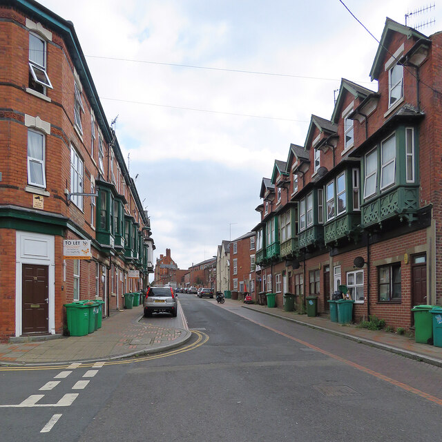
Image: © John Sutton Taken: 25 Aug 2021
Looking towards Alfreton Road on a cloudy August afternoon. Though Victorian three-storey terraces are common, the wooden first-floor oriel windows are unusual for Nottingham.
Images are licensed for reuse under creativecommons.org/licenses/by-sa/2.0
Image Location
Latitude
52.961303
Longitude
-1.169252