Farmland east of Ardochrig
Introduction
The photograph on this page of Farmland east of Ardochrig by Alec MacKinnon as part of the Geograph project.
The Geograph project started in 2005 with the aim of publishing, organising and preserving representative images for every square kilometre of Great Britain, Ireland and the Isle of Man.

There are currently over 7.5m images from over 14,400 individuals and you can help contribute to the project by visiting https://www.geograph.org.uk
Farmland east of Ardochrig
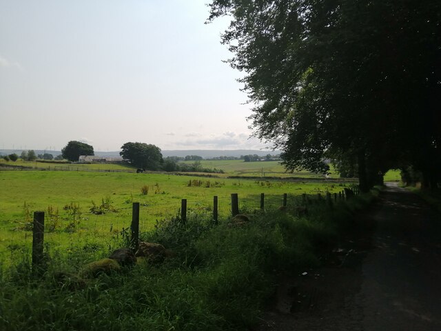
Image: © Alec MacKinnon Taken: 25 Aug 2021
The road over Ardochrig, seen at right, arrives at the crossroads with the Strathaven-Darvel road just beyond the trees. The picture looks across the fields towards Whitelaw farm.
Images are licensed for reuse under creativecommons.org/licenses/by-sa/2.0
Image Location


Leaflet Map data © OpenStreetMap
Latitude
55.66431
Longitude
-4.152148