Path, Shiphay
Introduction
The photograph on this page of Path, Shiphay by Derek Harper as part of the Geograph project.
The Geograph project started in 2005 with the aim of publishing, organising and preserving representative images for every square kilometre of Great Britain, Ireland and the Isle of Man.

There are currently over 7.5m images from over 14,400 individuals and you can help contribute to the project by visiting https://www.geograph.org.uk
Path, Shiphay
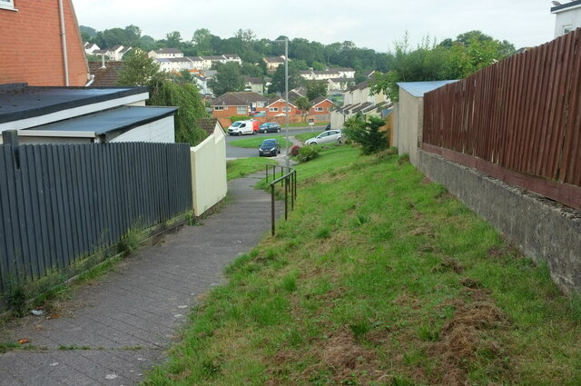
Image: © Derek Harper Taken: 14 Aug 2021
Connecting cul-de-sacs - in this case, from Veille Lane and Culvery Green to Redavon Rise.
Images are licensed for reuse under creativecommons.org/licenses/by-sa/2.0
Image Location
Latitude
50.480834
Longitude
-3.566399