Gateway with a view
Introduction
The photograph on this page of Gateway with a view by Chris Thomas-Atkin as part of the Geograph project.
The Geograph project started in 2005 with the aim of publishing, organising and preserving representative images for every square kilometre of Great Britain, Ireland and the Isle of Man.

There are currently over 7.5m images from over 14,400 individuals and you can help contribute to the project by visiting https://www.geograph.org.uk
Gateway with a view
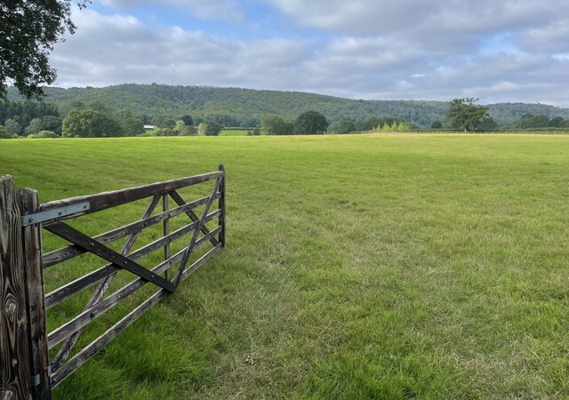
Image: © Chris Thomas-Atkin Taken: 19 Aug 2021
An open gate to fields beside the public footpath. The spot provides a view of the wooded flanks of the South Downs ahead.
Images are licensed for reuse under creativecommons.org/licenses/by-sa/2.0
Image Location
Latitude
50.949103
Longitude
-0.663381