Walkergate Crossroads
Introduction
The photograph on this page of Walkergate Crossroads by Weston Beggard as part of the Geograph project.
The Geograph project started in 2005 with the aim of publishing, organising and preserving representative images for every square kilometre of Great Britain, Ireland and the Isle of Man.

There are currently over 7.5m images from over 14,400 individuals and you can help contribute to the project by visiting https://www.geograph.org.uk
Walkergate Crossroads
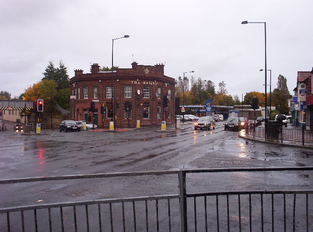
Image: © Weston Beggard Taken: 22 Oct 2005
View looking east along Shields Road to the right, and up Benfield Road to the left. The actual railway that lends its name to the pub can be seen crossing Benfield Road via the metal bridge at the extreme left of the picture.
Images are licensed for reuse under creativecommons.org/licenses/by-sa/2.0
Image Location
Latitude
54.98329
Longitude
-1.556197