17C house, Cross Green, Otley
Introduction
The photograph on this page of 17C house, Cross Green, Otley by Humphrey Bolton as part of the Geograph project.
The Geograph project started in 2005 with the aim of publishing, organising and preserving representative images for every square kilometre of Great Britain, Ireland and the Isle of Man.

There are currently over 7.5m images from over 14,400 individuals and you can help contribute to the project by visiting https://www.geograph.org.uk
17C house, Cross Green, Otley
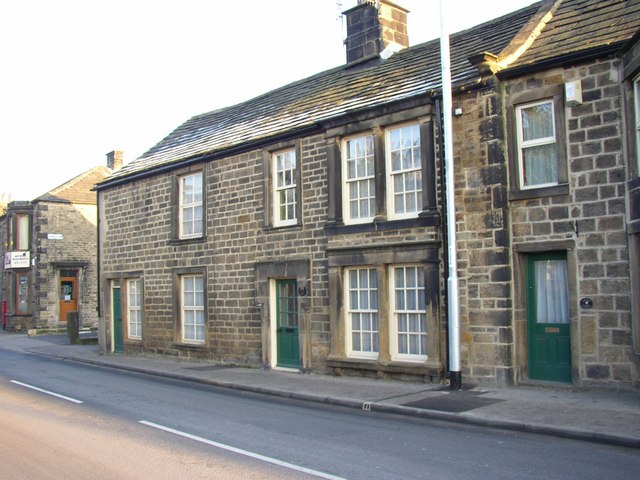
Image: © Humphrey Bolton Taken: 17 Feb 2008
The English Heritage listing states that this house has as date '1670' at the rear, with the initials I.D.H.. It was originally a farmhouse, was altered in the 18C and was later divided into two dwellings. The doorway has a keystone lintel and shouldered architrave.
Images are licensed for reuse under creativecommons.org/licenses/by-sa/2.0
Image Location


Leaflet Map data © OpenStreetMap
Latitude
53.905252
Longitude
-1.686418