Holly Road Benchmark
Introduction
The photograph on this page of Holly Road Benchmark by Anthony Rowley as part of the Geograph project.
The Geograph project started in 2005 with the aim of publishing, organising and preserving representative images for every square kilometre of Great Britain, Ireland and the Isle of Man.

There are currently over 7.5m images from over 14,400 individuals and you can help contribute to the project by visiting https://www.geograph.org.uk
Holly Road Benchmark
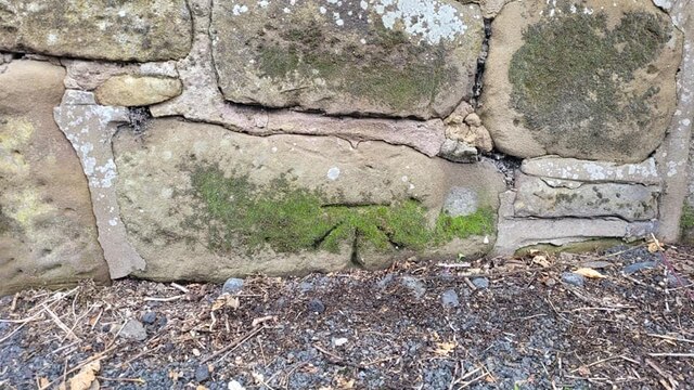
Image: © Anthony Rowley Taken: 21 Aug 2021
The Ordnance Survey benchmark cut into the wall that runs outside of the Holy Trinity churchyard on Holly Road, Dawley. The site of the benchmark was once a Sunday School. The benchmark was last verified by the OS in 1960.
Images are licensed for reuse under creativecommons.org/licenses/by-sa/2.0
Image Location
Latitude
52.654571
Longitude
-2.463839