Beaulieu River - Gilbury Hard
Introduction
The photograph on this page of Beaulieu River - Gilbury Hard by Rob Farrow as part of the Geograph project.
The Geograph project started in 2005 with the aim of publishing, organising and preserving representative images for every square kilometre of Great Britain, Ireland and the Isle of Man.

There are currently over 7.5m images from over 14,400 individuals and you can help contribute to the project by visiting https://www.geograph.org.uk
Beaulieu River - Gilbury Hard
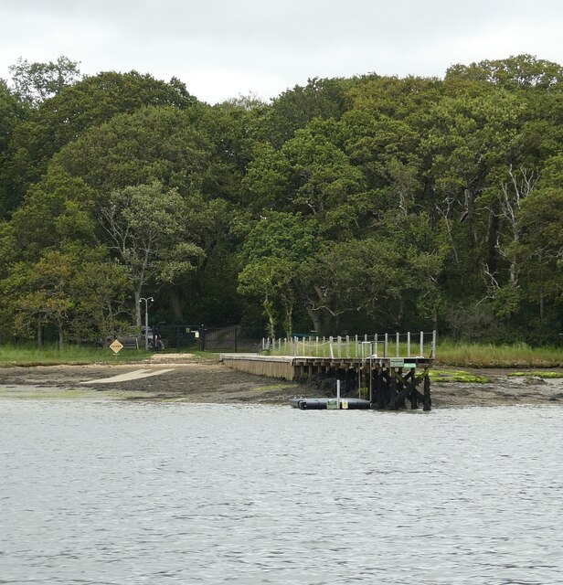
Image: © Rob Farrow Taken: 18 Aug 2021
This substantial jetty leads into woodland on the eastern side of the Beaulieu River. Curiously there seems to be a driveable track (as there is a car parked) leading off into the woods - with a quite ornate lamppost - this track does not appear on the maps, nor is it obvious from satellite imagery, but I am fairly confident that I have the correct location.
Images are licensed for reuse under creativecommons.org/licenses/by-sa/2.0
Image Location
Latitude
50.801585
Longitude
-1.411473