Wheat field, Green Lane, Creeting St. Mary
Introduction
The photograph on this page of Wheat field, Green Lane, Creeting St. Mary by Simon Mortimer as part of the Geograph project.
The Geograph project started in 2005 with the aim of publishing, organising and preserving representative images for every square kilometre of Great Britain, Ireland and the Isle of Man.

There are currently over 7.5m images from over 14,400 individuals and you can help contribute to the project by visiting https://www.geograph.org.uk
Wheat field, Green Lane, Creeting St. Mary
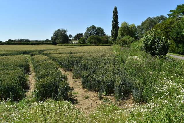
Image: © Simon Mortimer Taken: 16 Jul 2021
Looking west towards the barns at Homefield.
Images are licensed for reuse under creativecommons.org/licenses/by-sa/2.0
Image Location
Latitude
52.181524
Longitude
1.104354