The end of Screetham Lane
Introduction
The photograph on this page of The end of Screetham Lane by Bill Boaden as part of the Geograph project.
The Geograph project started in 2005 with the aim of publishing, organising and preserving representative images for every square kilometre of Great Britain, Ireland and the Isle of Man.

There are currently over 7.5m images from over 14,400 individuals and you can help contribute to the project by visiting https://www.geograph.org.uk
The end of Screetham Lane
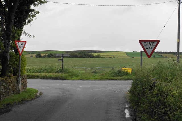
Image: © Bill Boaden Taken: 6 Jul 2021
It meets Beeley Lane. The higher part of Beeley Moor is on the skyline.
Images are licensed for reuse under creativecommons.org/licenses/by-sa/2.0
Image Location
Latitude
53.196609
Longitude
-1.546863