Rose Lane, Buckley
Introduction
The photograph on this page of Rose Lane, Buckley by Eirian Evans as part of the Geograph project.
The Geograph project started in 2005 with the aim of publishing, organising and preserving representative images for every square kilometre of Great Britain, Ireland and the Isle of Man.

There are currently over 7.5m images from over 14,400 individuals and you can help contribute to the project by visiting https://www.geograph.org.uk
Rose Lane, Buckley
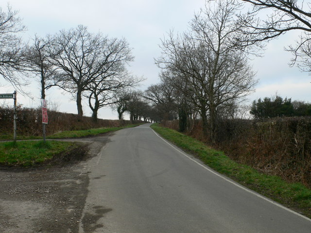
Image: © Eirian Evans Taken: 15 Feb 2008
Just past its junction with Well Street. To the left is a bridleway to Llong.
Images are licensed for reuse under creativecommons.org/licenses/by-sa/2.0
Image Location


Leaflet Map data © OpenStreetMap
Latitude
53.159918
Longitude
-3.102214