Rough meadowland at Crookhall
Introduction
The photograph on this page of Rough meadowland at Crookhall by Robert Graham as part of the Geograph project.
The Geograph project started in 2005 with the aim of publishing, organising and preserving representative images for every square kilometre of Great Britain, Ireland and the Isle of Man.

There are currently over 7.5m images from over 14,400 individuals and you can help contribute to the project by visiting https://www.geograph.org.uk
Rough meadowland at Crookhall
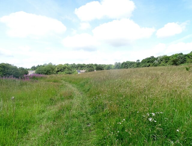
Image: © Robert Graham Taken: 3 Aug 2021
A rough field next to the houses at Crookhall. Looking north along the path.
Images are licensed for reuse under creativecommons.org/licenses/by-sa/2.0
Image Location
Latitude
54.851414
Longitude
-1.817589