Calder and Hebble Navigation approaching Edward Bridge
Introduction
The photograph on this page of Calder and Hebble Navigation approaching Edward Bridge by Chris Heaton as part of the Geograph project.
The Geograph project started in 2005 with the aim of publishing, organising and preserving representative images for every square kilometre of Great Britain, Ireland and the Isle of Man.

There are currently over 7.5m images from over 14,400 individuals and you can help contribute to the project by visiting https://www.geograph.org.uk
Calder and Hebble Navigation approaching Edward Bridge
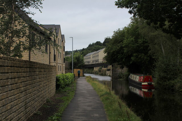
Image: © Chris Heaton Taken: 15 Aug 2021
Tranquil inland waterway scene between Halifax and Sowerby Bridge
Images are licensed for reuse under creativecommons.org/licenses/by-sa/2.0
Image Location
Latitude
53.708684
Longitude
-1.889219