A site entrance on Queen Edith's Way
Introduction
The photograph on this page of A site entrance on Queen Edith's Way by John Sutton as part of the Geograph project.
The Geograph project started in 2005 with the aim of publishing, organising and preserving representative images for every square kilometre of Great Britain, Ireland and the Isle of Man.

There are currently over 7.5m images from over 14,400 individuals and you can help contribute to the project by visiting https://www.geograph.org.uk
A site entrance on Queen Edith's Way
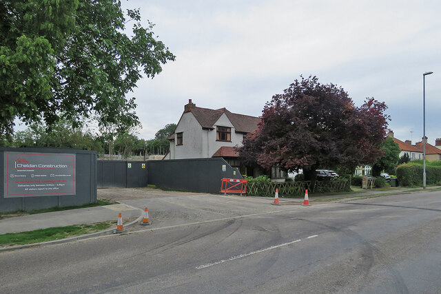
Image: © John Sutton Taken: 21 Aug 2021
New houses, which the developers are calling Chalk Glade, are being built on a site between Queen Edith's Way and Limekiln Road, near the Cherry Hinton Chalk Pits nature reserve.
Images are licensed for reuse under creativecommons.org/licenses/by-sa/2.0
Image Location


Leaflet Map data © OpenStreetMap
Latitude
52.182826
Longitude
0.169465