Monmouth buildings [53]
Introduction
The photograph on this page of Monmouth buildings [53] by Michael Dibb as part of the Geograph project.
The Geograph project started in 2005 with the aim of publishing, organising and preserving representative images for every square kilometre of Great Britain, Ireland and the Isle of Man.

There are currently over 7.5m images from over 14,400 individuals and you can help contribute to the project by visiting https://www.geograph.org.uk
Monmouth buildings [53]
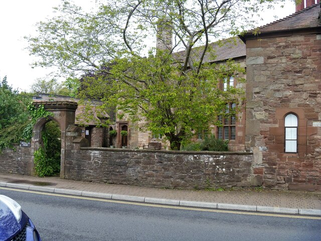
Image: © Michael Dibb Taken: 28 May 2021
The Priory is originally late 15th century, built as part of the Prior's Lodging of the adjacent Monmouth Priory. It was mostly rebuilt in the mid or late 19th century incorporating medieval stonework and features. The Priory was dissolved in 1536 and the buildings became a house. It was used as a school in from circa 1768 until 1978 when it became a Youth Hostel and is now a community centre. Constructed of sandstone ashlar with red tile roofs. See also Image Listed, grade II*, with details at: https://cadwpublic-api.azurewebsites.net/reports/listedbuilding/FullReport?lang=&id=2323 The wall and arched gateway are listed, grade II, with details at: https://cadwpublic-api.azurewebsites.net/reports/listedbuilding/FullReport?lang=&id=85235 Monmouth is a market town at the confluence of the Rivers Monnow and Wye some 30 miles northeast of Cardiff. Although there is evidence of settlement in the Neolithic period, the town was established around the Norman castle which was the birthplace of King Henry V. The historic county town of Monmouthshire, the town is now a centre for Wye Valley tourism.
Images are licensed for reuse under creativecommons.org/licenses/by-sa/2.0
Image Location
Latitude
51.81364
Longitude
-2.714085