Drain north of Langley Green, Crawley
Introduction
The photograph on this page of Drain north of Langley Green, Crawley by Robin Webster as part of the Geograph project.
The Geograph project started in 2005 with the aim of publishing, organising and preserving representative images for every square kilometre of Great Britain, Ireland and the Isle of Man.

There are currently over 7.5m images from over 14,400 individuals and you can help contribute to the project by visiting https://www.geograph.org.uk
Drain north of Langley Green, Crawley
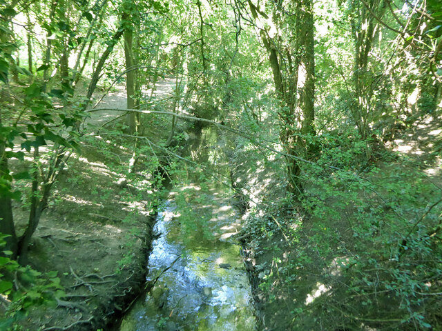
Image: © Robin Webster Taken: 14 Aug 2021
This fairly large embanked drain appears to have been dug to its present form during the building of the new town of Crawley after the war. It drains surface water from the Langley Green area of Crawley (at least) to the River Mole, emerging above ground north of Langley Walk.
Images are licensed for reuse under creativecommons.org/licenses/by-sa/2.0
Image Location
Latitude
51.134767
Longitude
-0.198354