Bovey Tracey - Churchyard Cross
Introduction
The photograph on this page of Bovey Tracey - Churchyard Cross by Colin Smith as part of the Geograph project.
The Geograph project started in 2005 with the aim of publishing, organising and preserving representative images for every square kilometre of Great Britain, Ireland and the Isle of Man.

There are currently over 7.5m images from over 14,400 individuals and you can help contribute to the project by visiting https://www.geograph.org.uk
Bovey Tracey - Churchyard Cross
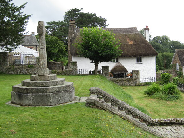
Image: © Colin Smith Taken: 24 Jul 2021
The parish church is St Peter, St Paul, and St Thomas of Canterbury (PPT) and a church has been on this hilltop site since the 10th century. The cross stands to the south of the church, facing East Street. www.boveytracey.gov.uk
Images are licensed for reuse under creativecommons.org/licenses/by-sa/2.0
Image Location
Latitude
50.59483
Longitude
-3.666682