Chapel Cottage on SW side of road
Introduction
The photograph on this page of Chapel Cottage on SW side of road by Roger Templeman as part of the Geograph project.
The Geograph project started in 2005 with the aim of publishing, organising and preserving representative images for every square kilometre of Great Britain, Ireland and the Isle of Man.

There are currently over 7.5m images from over 14,400 individuals and you can help contribute to the project by visiting https://www.geograph.org.uk
Chapel Cottage on SW side of road
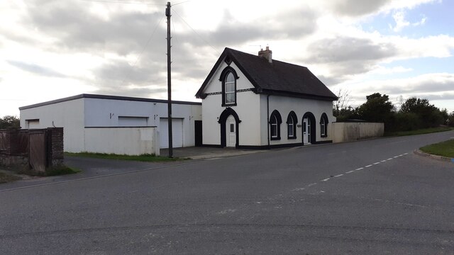
Image: © Roger Templeman Taken: 17 Aug 2021
The 1972 1:2500 Map shows an Ordnance Survey benchmark levelled at 16.05m above Newlyn Datum on the near corner, road face, of the house.
Images are licensed for reuse under creativecommons.org/licenses/by-sa/2.0
Image Location
Latitude
54.925859
Longitude
-2.981287