Wardrop Street, Beith
Introduction
The photograph on this page of Wardrop Street, Beith by Richard Dorrell as part of the Geograph project.
The Geograph project started in 2005 with the aim of publishing, organising and preserving representative images for every square kilometre of Great Britain, Ireland and the Isle of Man.

There are currently over 7.5m images from over 14,400 individuals and you can help contribute to the project by visiting https://www.geograph.org.uk
Wardrop Street, Beith
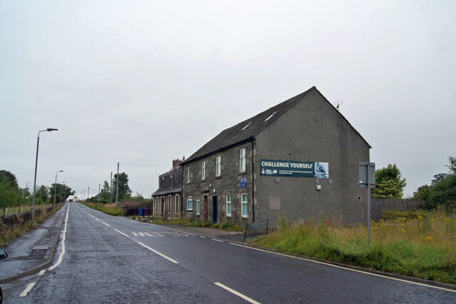
Image: © Richard Dorrell Taken: 11 Aug 2021
The road is the B777, here looking east from close to its junction with the A737. The building on the right is currently in use for parade nights by the Garnock Valley detachment of the West Lowland Battalion, Army Cadets Force.
Images are licensed for reuse under creativecommons.org/licenses/by-sa/2.0
Image Location
Latitude
55.749761
Longitude
-4.624567