Motorway construction
Introduction
The photograph on this page of Motorway construction by Colin Prosser as part of the Geograph project.
The Geograph project started in 2005 with the aim of publishing, organising and preserving representative images for every square kilometre of Great Britain, Ireland and the Isle of Man.

There are currently over 7.5m images from over 14,400 individuals and you can help contribute to the project by visiting https://www.geograph.org.uk
Motorway construction
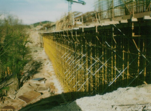
Image: © Colin Prosser Taken: 19 Apr 1980
Motorway construction M4 viaduct between Sarn and Pyle
Images are licensed for reuse under creativecommons.org/licenses/by-sa/2.0
Image Location
Latitude
51.53331
Longitude
-3.590588