Path at Hurbuck Farm
Introduction
The photograph on this page of Path at Hurbuck Farm by Robert Graham as part of the Geograph project.
The Geograph project started in 2005 with the aim of publishing, organising and preserving representative images for every square kilometre of Great Britain, Ireland and the Isle of Man.

There are currently over 7.5m images from over 14,400 individuals and you can help contribute to the project by visiting https://www.geograph.org.uk
Path at Hurbuck Farm
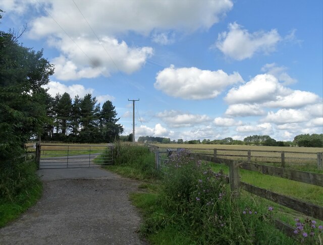
Image: © Robert Graham Taken: 3 Aug 2021
The Lanchester Valley Railway Path is diverted past the farm here. The old railway was destroyed by opencast mining along this section.
Images are licensed for reuse under creativecommons.org/licenses/by-sa/2.0
Image Location
Latitude
54.830242
Longitude
-1.784683