Path in Kilrenny
Introduction
The photograph on this page of Path in Kilrenny by Bill Kasman as part of the Geograph project.
The Geograph project started in 2005 with the aim of publishing, organising and preserving representative images for every square kilometre of Great Britain, Ireland and the Isle of Man.

There are currently over 7.5m images from over 14,400 individuals and you can help contribute to the project by visiting https://www.geograph.org.uk
Path in Kilrenny
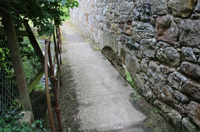
Image: © Bill Kasman Taken: 2 Aug 2021
This path crosses the Kilrenny Burn and connects Kilrenny play area to Blacklaws Crescent. The partial archway low down on the right-hand side indicates that this bridge was a later addition which supersedes the wall. See main article https://www.geograph.org.uk/article/Kilrenny
Images are licensed for reuse under creativecommons.org/licenses/by-sa/2.0
Image Location
Latitude
56.235437
Longitude
-2.689772