Dumfries Aviation Museum, Airborne Forces Exhibit
Introduction
The photograph on this page of Dumfries Aviation Museum, Airborne Forces Exhibit by David Dixon as part of the Geograph project.
The Geograph project started in 2005 with the aim of publishing, organising and preserving representative images for every square kilometre of Great Britain, Ireland and the Isle of Man.

There are currently over 7.5m images from over 14,400 individuals and you can help contribute to the project by visiting https://www.geograph.org.uk
Dumfries Aviation Museum, Airborne Forces Exhibit
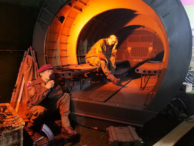
Image: © David Dixon Taken: 11 Aug 2021
The Airborne Forces collection covers both the development of glider-based assault, which was used extensively in World War Two, and the use of paratroopers, from their role in tactical assaults through to their deployment as part of strategic offensives.
Images are licensed for reuse under creativecommons.org/licenses/by-sa/2.0
Image Location
Latitude
55.091183
Longitude
-3.567912