The footpath through the "Woodcock Way" housing estate, Ashby-de-la-Zouch
Introduction
The photograph on this page of The footpath through the "Woodcock Way" housing estate, Ashby-de-la-Zouch by Oliver Mills as part of the Geograph project.
The Geograph project started in 2005 with the aim of publishing, organising and preserving representative images for every square kilometre of Great Britain, Ireland and the Isle of Man.

There are currently over 7.5m images from over 14,400 individuals and you can help contribute to the project by visiting https://www.geograph.org.uk
The footpath through the "Woodcock Way" housing estate, Ashby-de-la-Zouch
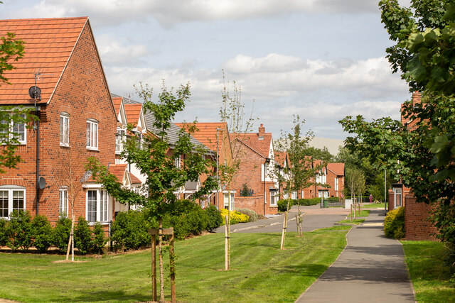
Image: © Oliver Mills Taken: 12 Aug 2021
The accommodation of the public footpath has been provided quite well in this estate, with its original trajectory preserved and kept visually clear. The new development, viewed on maps, appears as a severe and widely unnatural spike over the existing boundaries of Nottingham Road's housing; perhaps making it more acceptable to continue development of this land in the future than it otherwise would be.
Images are licensed for reuse under creativecommons.org/licenses/by-sa/2.0
Image Location
Latitude
52.751196
Longitude
-1.46201