Fields around the Money Hill region, Ashby-de-la-Zouch
Introduction
The photograph on this page of Fields around the Money Hill region, Ashby-de-la-Zouch by Oliver Mills as part of the Geograph project.
The Geograph project started in 2005 with the aim of publishing, organising and preserving representative images for every square kilometre of Great Britain, Ireland and the Isle of Man.

There are currently over 7.5m images from over 14,400 individuals and you can help contribute to the project by visiting https://www.geograph.org.uk
Fields around the Money Hill region, Ashby-de-la-Zouch
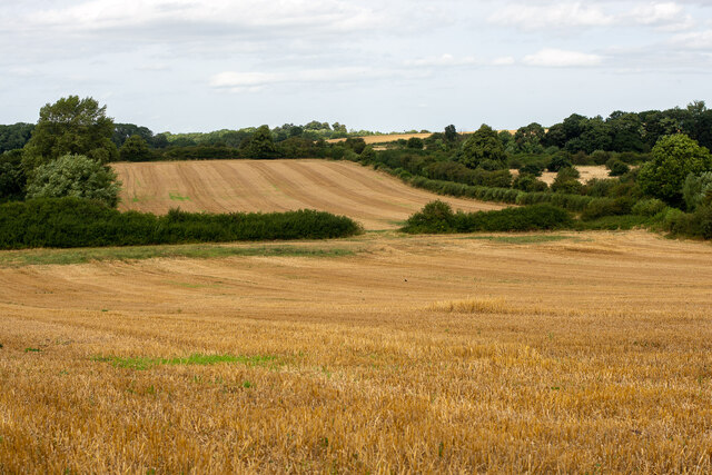
Image: © Oliver Mills Taken: 12 Aug 2021
Taken from a public footpath parallel to Nottingham Road; the rest of this land is private but will be soon developed for housing. The hedgerows on the right enclose a small farm track which extends to approximately the centre point of this distinct region.
Images are licensed for reuse under creativecommons.org/licenses/by-sa/2.0
Image Location
Latitude
52.750226
Longitude
-1.46617