Former RAF Control Tower, Dumfries and Galloway Aviation Museum
Introduction
The photograph on this page of Former RAF Control Tower, Dumfries and Galloway Aviation Museum by David Dixon as part of the Geograph project.
The Geograph project started in 2005 with the aim of publishing, organising and preserving representative images for every square kilometre of Great Britain, Ireland and the Isle of Man.

There are currently over 7.5m images from over 14,400 individuals and you can help contribute to the project by visiting https://www.geograph.org.uk
Former RAF Control Tower, Dumfries and Galloway Aviation Museum
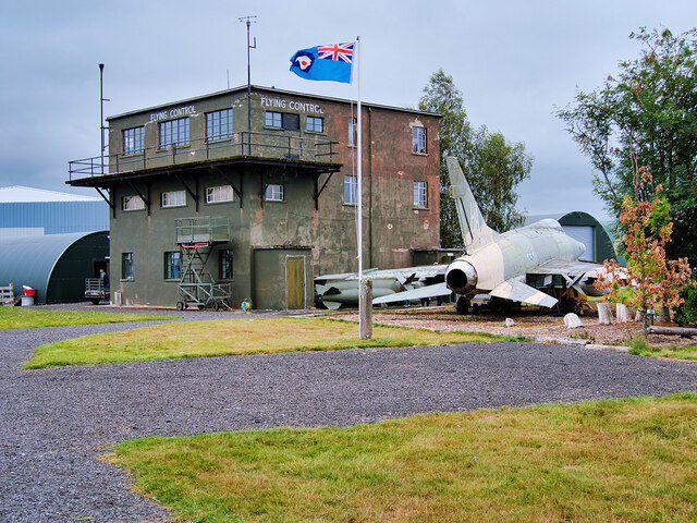
Image: © David Dixon Taken: 11 Aug 2021
The three-storey control tower, which dates from 1941, is a Category C listed building (LB50613 http://portal.historicenvironment.scot/designation/LB50613 Historic Environment Scotland).
Images are licensed for reuse under creativecommons.org/licenses/by-sa/2.0
Image Location


Leaflet Map data © OpenStreetMap
Latitude
55.091083
Longitude
-3.568691