Southport revisited - Hesketh Park
Introduction
The photograph on this page of Southport revisited - Hesketh Park by Oliver Dixon as part of the Geograph project.
The Geograph project started in 2005 with the aim of publishing, organising and preserving representative images for every square kilometre of Great Britain, Ireland and the Isle of Man.

There are currently over 7.5m images from over 14,400 individuals and you can help contribute to the project by visiting https://www.geograph.org.uk
Southport revisited - Hesketh Park
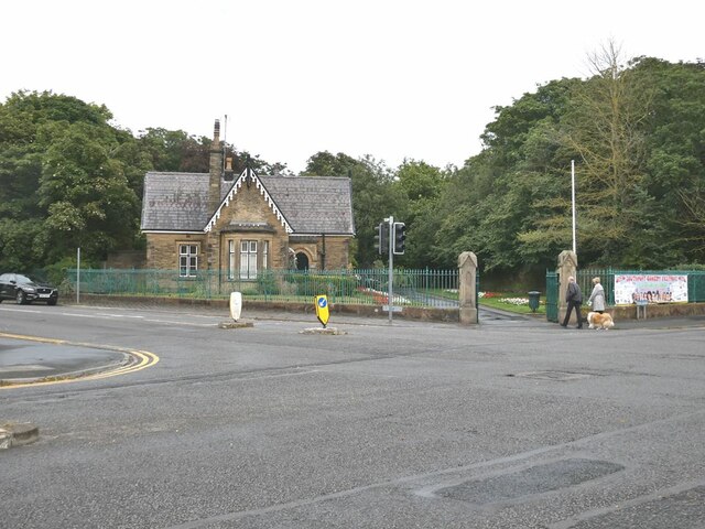
Image: © Oliver Dixon Taken: 11 Aug 2021
Back in the 1950s, on the occasional winter evening, a friend and I used to assemble with others by the lodge waiting for the Borough Meteorologist cum Astronomer to guide us to the Observatory in the centre of the Park for an evening's stargazing. The Observatory and its telescope are both of venerable age and are still in use today.
Images are licensed for reuse under creativecommons.org/licenses/by-sa/2.0
Image Location
Latitude
53.656002
Longitude
-2.991493