Watford: St Albans Road subway
Introduction
The photograph on this page of Watford: St Albans Road subway by Nigel Cox as part of the Geograph project.
The Geograph project started in 2005 with the aim of publishing, organising and preserving representative images for every square kilometre of Great Britain, Ireland and the Isle of Man.

There are currently over 7.5m images from over 14,400 individuals and you can help contribute to the project by visiting https://www.geograph.org.uk
Watford: St Albans Road subway
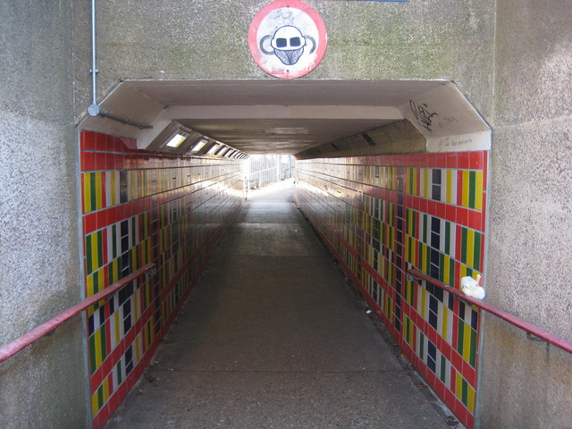
Image: © Nigel Cox Taken: 16 Feb 2008
The subway allows pedestrians and cyclists to move between Watford Junction railway station and the Nascot Wood area without having to cross the busy St Albans Road. The formal road sign above the entrance showing a cycle symbol has been "amended".
Images are licensed for reuse under creativecommons.org/licenses/by-sa/2.0
Image Location
Latitude
51.665364
Longitude
-0.399344