Blandford Way
Introduction
The photograph on this page of Blandford Way by Richard Webb as part of the Geograph project.
The Geograph project started in 2005 with the aim of publishing, organising and preserving representative images for every square kilometre of Great Britain, Ireland and the Isle of Man.

There are currently over 7.5m images from over 14,400 individuals and you can help contribute to the project by visiting https://www.geograph.org.uk
Blandford Way
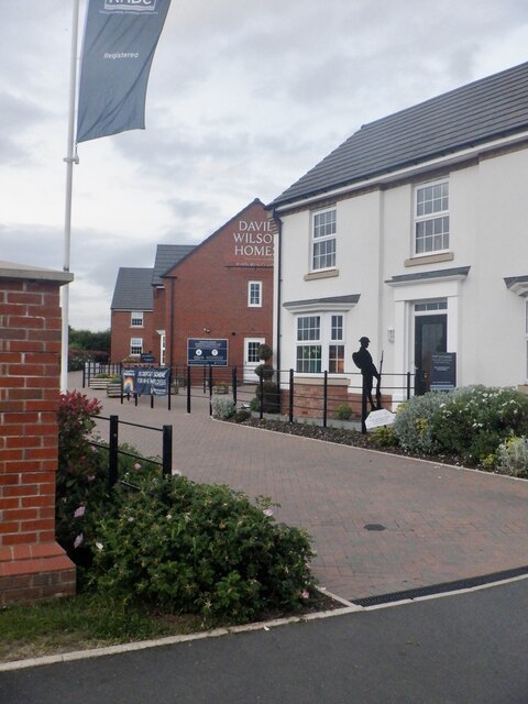
Image: © Richard Webb Taken: 11 Jun 2021
Infil housing, Market Drayton. More to this square than windscreens on the A53. There is one of the modern World War I silhouette memorials here.
Images are licensed for reuse under creativecommons.org/licenses/by-sa/2.0
Image Location
Latitude
52.909123
Longitude
-2.500606