St Michael's Road, Warwick
Introduction
The photograph on this page of St Michael's Road, Warwick by Stephen McKay as part of the Geograph project.
The Geograph project started in 2005 with the aim of publishing, organising and preserving representative images for every square kilometre of Great Britain, Ireland and the Isle of Man.

There are currently over 7.5m images from over 14,400 individuals and you can help contribute to the project by visiting https://www.geograph.org.uk
St Michael's Road, Warwick
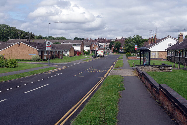
Image: © Stephen McKay Taken: 11 Aug 2021
St Michael's Road connects Birmingham road with Cape Road in an s-shaped configuration. This end is lined with retirement bungalows.
Images are licensed for reuse under creativecommons.org/licenses/by-sa/2.0
Image Location
Latitude
52.288217
Longitude
-1.599285