Path to St Michael's Road, Warwick
Introduction
The photograph on this page of Path to St Michael's Road, Warwick by Stephen McKay as part of the Geograph project.
The Geograph project started in 2005 with the aim of publishing, organising and preserving representative images for every square kilometre of Great Britain, Ireland and the Isle of Man.

There are currently over 7.5m images from over 14,400 individuals and you can help contribute to the project by visiting https://www.geograph.org.uk
Path to St Michael's Road, Warwick
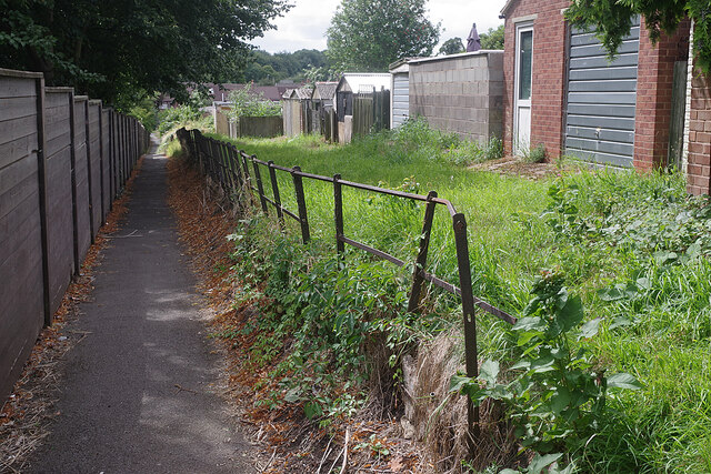
Image: © Stephen McKay Taken: 11 Aug 2021
This path provides a convenient pedestrian route connecting Cape Road with St Michael's Road in the Cape area of Warwick. St Michael's Hospital is behind the fence on the left.
Images are licensed for reuse under creativecommons.org/licenses/by-sa/2.0
Image Location
Latitude
52.289192
Longitude
-1.595318