Close up of the village sign in Wouldham
Introduction
The photograph on this page of Close up of the village sign in Wouldham by Marathon as part of the Geograph project.
The Geograph project started in 2005 with the aim of publishing, organising and preserving representative images for every square kilometre of Great Britain, Ireland and the Isle of Man.

There are currently over 7.5m images from over 14,400 individuals and you can help contribute to the project by visiting https://www.geograph.org.uk
Close up of the village sign in Wouldham
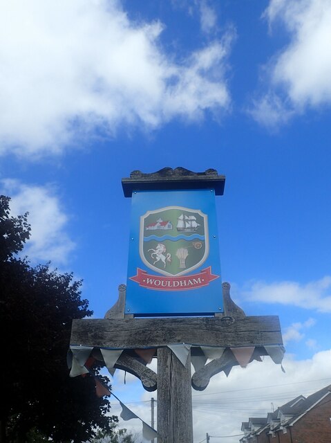
Image: © Marathon Taken: 14 Aug 2021
This is a close up of the village sign seen at https://www.geograph.org.uk/photo/6934475 It features the River Medway, the white horse of Kent, the church, a wheatsheaf, a hay cart and a sailing ship.
Images are licensed for reuse under creativecommons.org/licenses/by-sa/2.0
Image Location
Latitude
51.349893
Longitude
0.458338