Manor Farmhouse
Introduction
The photograph on this page of Manor Farmhouse by Richard Croft as part of the Geograph project.
The Geograph project started in 2005 with the aim of publishing, organising and preserving representative images for every square kilometre of Great Britain, Ireland and the Isle of Man.

There are currently over 7.5m images from over 14,400 individuals and you can help contribute to the project by visiting https://www.geograph.org.uk
Manor Farmhouse
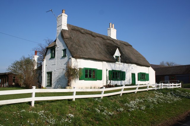
Image: © Richard Croft Taken: 16 Feb 2008
Grade II listed 18th century thatched farmhouse at Low Toynton, the early 18th century mud & stud house on the right has evolved in to a larger house in the 19th & 20th centuries
Images are licensed for reuse under creativecommons.org/licenses/by-sa/2.0
Image Location
Latitude
53.216996
Longitude
-0.092571