Aylesford from its old bridge
Introduction
The photograph on this page of Aylesford from its old bridge by Marathon as part of the Geograph project.
The Geograph project started in 2005 with the aim of publishing, organising and preserving representative images for every square kilometre of Great Britain, Ireland and the Isle of Man.

There are currently over 7.5m images from over 14,400 individuals and you can help contribute to the project by visiting https://www.geograph.org.uk
Aylesford from its old bridge
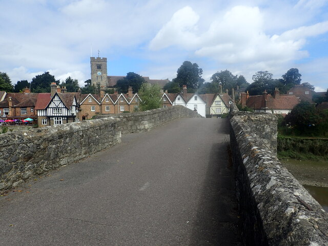
Image: © Marathon Taken: 14 Aug 2021
The bridge over the River Medway is thought to date from the 14th century although the middle span is later. Upstream from Rochester, it was the next bridging point across the Medway. It has now been closed to traffic but still makes an attractive approach to the village for pedestrians, with the Church of St Peter and St Paul on its hill dominating views. The Medway Valley Walk crosses the bridge.
Images are licensed for reuse under creativecommons.org/licenses/by-sa/2.0
Image Location
Latitude
51.303573
Longitude
0.479821