St Luke the Evangelist
Introduction
The photograph on this page of St Luke the Evangelist by Gerald England as part of the Geograph project.
The Geograph project started in 2005 with the aim of publishing, organising and preserving representative images for every square kilometre of Great Britain, Ireland and the Isle of Man.

There are currently over 7.5m images from over 14,400 individuals and you can help contribute to the project by visiting https://www.geograph.org.uk
St Luke the Evangelist
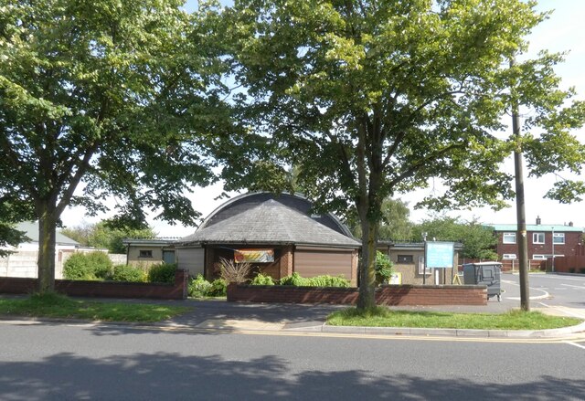
Image: © Gerald England Taken: 12 Aug 2021
The church opened in 1959 as a chapel to Bredbury: St. Mark. In 1963 it became the district church for Brinnington (previously served by Bredbury: St. Mark and Portwood: St. Paul). In 1971 the district was united with that of Portwood: St. Paul to form the combined district of "Brinnington with Portwood".
Images are licensed for reuse under creativecommons.org/licenses/by-sa/2.0
Image Location
Latitude
53.427146
Longitude
-2.133449