Subway under Arno Vale Road
Introduction
The photograph on this page of Subway under Arno Vale Road by Alan Murray-Rust as part of the Geograph project.
The Geograph project started in 2005 with the aim of publishing, organising and preserving representative images for every square kilometre of Great Britain, Ireland and the Isle of Man.

There are currently over 7.5m images from over 14,400 individuals and you can help contribute to the project by visiting https://www.geograph.org.uk
Subway under Arno Vale Road
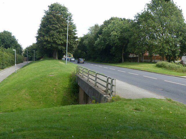
Image: © Alan Murray-Rust Taken: 12 Aug 2021
Part of the A6211 which forms a major orbital link round the north east of Nottingham.
Images are licensed for reuse under creativecommons.org/licenses/by-sa/2.0
Image Location
Latitude
52.994469
Longitude
-1.118555