Penny Lane
Introduction
The photograph on this page of Penny Lane by Gerald England as part of the Geograph project.
The Geograph project started in 2005 with the aim of publishing, organising and preserving representative images for every square kilometre of Great Britain, Ireland and the Isle of Man.

There are currently over 7.5m images from over 14,400 individuals and you can help contribute to the project by visiting https://www.geograph.org.uk
Penny Lane
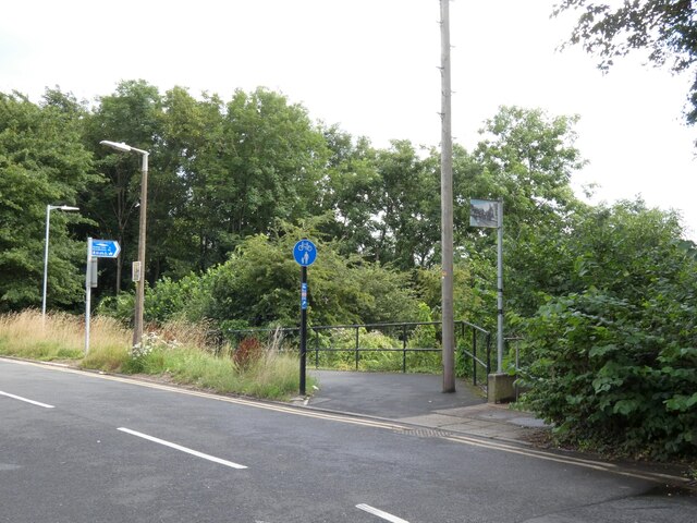
Image: © Gerald England Taken: 10 Aug 2021
Users of the Trans Pennine Trail can here take the steps on the right Image or the alternative zig-zag route on the left to reach Portwood. At the top of the steps is a lamppost decorated with artwork. Image Image
Images are licensed for reuse under creativecommons.org/licenses/by-sa/2.0
Image Location
Latitude
53.41543
Longitude
-2.158838