Path in Berengrave Nature Reserve
Introduction
The photograph on this page of Path in Berengrave Nature Reserve by Marathon as part of the Geograph project.
The Geograph project started in 2005 with the aim of publishing, organising and preserving representative images for every square kilometre of Great Britain, Ireland and the Isle of Man.

There are currently over 7.5m images from over 14,400 individuals and you can help contribute to the project by visiting https://www.geograph.org.uk
Path in Berengrave Nature Reserve
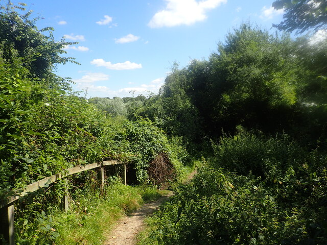
Image: © Marathon Taken: 10 Aug 2021
This wooded nature reserve is an old chalk pit which provided chalk for cement production between 1901 and 1931. This path along the southern edge looks down the steep slope into the former chalk pit which is now completely wooded. The path has been closed at the far end as it has subsided down a steep slope. The site is managed by the Woodland Trust. A full account, including a walk, can be seen at http://btckstorage.blob.core.windows.net/site568/Self%20guided%20walk%202.pdf
Images are licensed for reuse under creativecommons.org/licenses/by-sa/2.0
Image Location


Leaflet Map data © OpenStreetMap
Latitude
51.37149
Longitude
0.611517