Garrier Burn south of the road bridge
Introduction
The photograph on this page of Garrier Burn south of the road bridge by Alec MacKinnon as part of the Geograph project.
The Geograph project started in 2005 with the aim of publishing, organising and preserving representative images for every square kilometre of Great Britain, Ireland and the Isle of Man.

There are currently over 7.5m images from over 14,400 individuals and you can help contribute to the project by visiting https://www.geograph.org.uk
Garrier Burn south of the road bridge
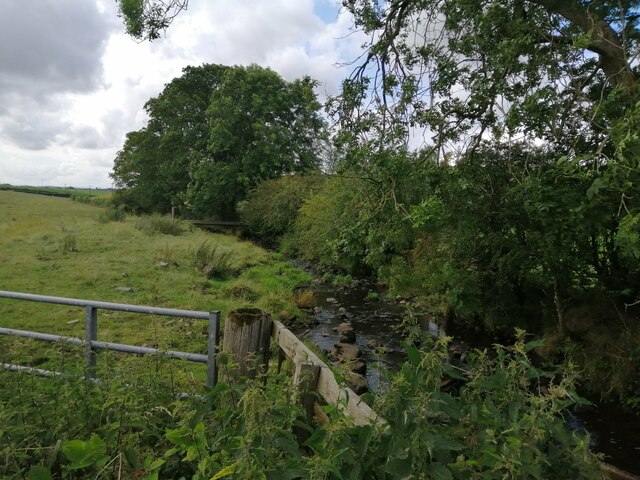
Image: © Alec MacKinnon Taken: 12 Aug 2021
This is the Garrier Burn, in the countryside west of Kilmaurs, on the other side of the road bridge from the view seen e.g. in Image An improvised footbridge crosses the burn just under the big tree on the skyline.
Images are licensed for reuse under creativecommons.org/licenses/by-sa/2.0
Image Location
Latitude
55.644834
Longitude
-4.557938