Pennard Road, Southgate
Introduction
The photograph on this page of Pennard Road, Southgate by Des Blenkinsopp as part of the Geograph project.
The Geograph project started in 2005 with the aim of publishing, organising and preserving representative images for every square kilometre of Great Britain, Ireland and the Isle of Man.

There are currently over 7.5m images from over 14,400 individuals and you can help contribute to the project by visiting https://www.geograph.org.uk
Pennard Road, Southgate
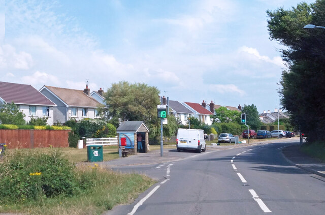
Image: © Des Blenkinsopp Taken: 23 Jul 2021
Speed monitor by the bus shelter. Southgate is a mostly 20th century village.
Images are licensed for reuse under creativecommons.org/licenses/by-sa/2.0
Image Location
Latitude
51.575866
Longitude
-4.088096