"The Villa" at Barnby Basin
Introduction
The photograph on this page of "The Villa" at Barnby Basin by Neil Theasby as part of the Geograph project.
The Geograph project started in 2005 with the aim of publishing, organising and preserving representative images for every square kilometre of Great Britain, Ireland and the Isle of Man.

There are currently over 7.5m images from over 14,400 individuals and you can help contribute to the project by visiting https://www.geograph.org.uk
"The Villa" at Barnby Basin
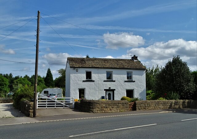
Image: © Neil Theasby Taken: 12 Aug 2021
Once the western terminus of the Aire and Calder Navigation Canal. The actual basin was just behind this house. The canal facilitated the movement of coal. Stanhope and Higham collieries were close by.
Images are licensed for reuse under creativecommons.org/licenses/by-sa/2.0
Image Location


Leaflet Map data © OpenStreetMap
Latitude
53.5682
Longitude
-1.546527