Gutter Field/Hop Garden Field
Introduction
The photograph on this page of Gutter Field/Hop Garden Field by Simon Carey as part of the Geograph project.
The Geograph project started in 2005 with the aim of publishing, organising and preserving representative images for every square kilometre of Great Britain, Ireland and the Isle of Man.

There are currently over 7.5m images from over 14,400 individuals and you can help contribute to the project by visiting https://www.geograph.org.uk
Gutter Field/Hop Garden Field
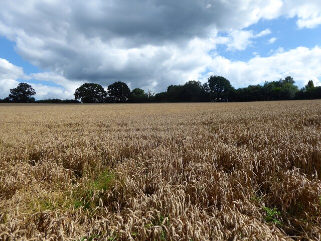
Image: © Simon Carey Taken: 10 Aug 2021
The name of the fields according to Hartfield's 1842 tithe map that have been merged to form a larger unit. Gutter Field was in the foreground whilst Hop Garden Field was further up the slope. Both are bonded to the west by Jib Jacks Hill, the B2026.
Images are licensed for reuse under creativecommons.org/licenses/by-sa/2.0
Image Location


Leaflet Map data © OpenStreetMap
Latitude
51.097519
Longitude
0.109128