The end of Southgate Road
Introduction
The photograph on this page of The end of Southgate Road by Des Blenkinsopp as part of the Geograph project.
The Geograph project started in 2005 with the aim of publishing, organising and preserving representative images for every square kilometre of Great Britain, Ireland and the Isle of Man.

There are currently over 7.5m images from over 14,400 individuals and you can help contribute to the project by visiting https://www.geograph.org.uk
The end of Southgate Road
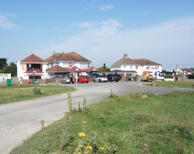
Image: © Des Blenkinsopp Taken: 23 Jul 2021
Southgate Road, the main street through the village, ends at a green and splits into three no through roads to properties a bit further on.
Images are licensed for reuse under creativecommons.org/licenses/by-sa/2.0
Image Location
Latitude
51.567497
Longitude
-4.088434