West end of Front Street in Lanchester
Introduction
The photograph on this page of West end of Front Street in Lanchester by Robert Graham as part of the Geograph project.
The Geograph project started in 2005 with the aim of publishing, organising and preserving representative images for every square kilometre of Great Britain, Ireland and the Isle of Man.

There are currently over 7.5m images from over 14,400 individuals and you can help contribute to the project by visiting https://www.geograph.org.uk
West end of Front Street in Lanchester
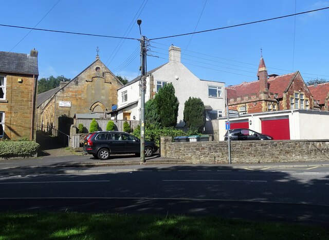
Image: © Robert Graham Taken: 3 Aug 2021
The road makes a sharp turn to the east here to join the A691 by-pass around the village. The red brick building on the right is the R C Primary School.
Images are licensed for reuse under creativecommons.org/licenses/by-sa/2.0
Image Location
Latitude
54.82415
Longitude
-1.747361