Skirpenbeck House
Introduction
The photograph on this page of Skirpenbeck House by Gordon Hatton as part of the Geograph project.
The Geograph project started in 2005 with the aim of publishing, organising and preserving representative images for every square kilometre of Great Britain, Ireland and the Isle of Man.

There are currently over 7.5m images from over 14,400 individuals and you can help contribute to the project by visiting https://www.geograph.org.uk
Skirpenbeck House
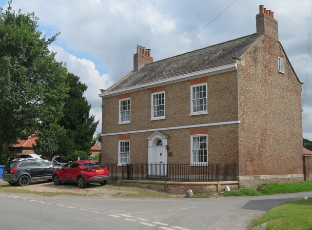
Image: © Gordon Hatton Taken: 9 Aug 2021
Described by Pevsner and Neave as the best house in the village, being a three bay late 18th century house with an attractive doorway.
Images are licensed for reuse under creativecommons.org/licenses/by-sa/2.0
Image Location
Latitude
54.003378
Longitude
-0.863338