Craighton House, Castle Street
Introduction
The photograph on this page of Craighton House, Castle Street by John Baker as part of the Geograph project.
The Geograph project started in 2005 with the aim of publishing, organising and preserving representative images for every square kilometre of Great Britain, Ireland and the Isle of Man.

There are currently over 7.5m images from over 14,400 individuals and you can help contribute to the project by visiting https://www.geograph.org.uk
Craighton House, Castle Street
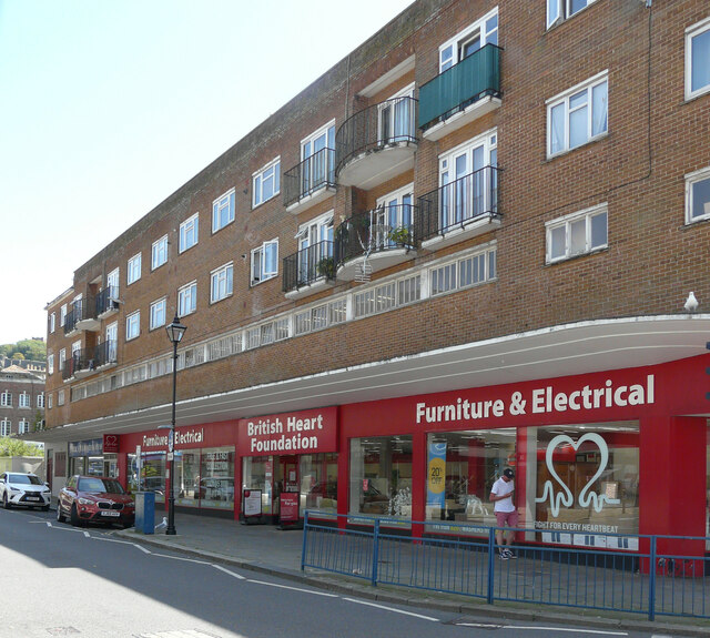
Image: © John Baker Taken: 17 Jul 2021
Planning permission has been granted by Dover District Council under application number DOV/21/00689 for the “re-siting of BT public telephone kiosks” It appears that they will be erected, on the pavement, outside the British Heart Foundation outlet.
Images are licensed for reuse under creativecommons.org/licenses/by-sa/2.0
Image Location
Latitude
51.125233
Longitude
1.314123