Lane to Dundrum Mills
Introduction
The photograph on this page of Lane to Dundrum Mills by Sean Davis as part of the Geograph project.
The Geograph project started in 2005 with the aim of publishing, organising and preserving representative images for every square kilometre of Great Britain, Ireland and the Isle of Man.

There are currently over 7.5m images from over 14,400 individuals and you can help contribute to the project by visiting https://www.geograph.org.uk
Lane to Dundrum Mills
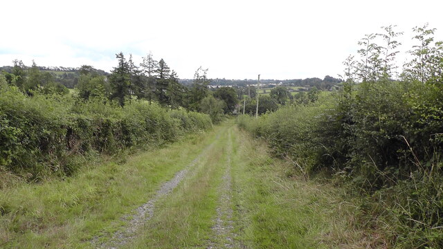
Image: © Sean Davis Taken: 10 Aug 2021
This old lane leads from Dundrum Road down to the derelict Dundrum Mills at the confluence of the Clea and Callan rivers.
Images are licensed for reuse under creativecommons.org/licenses/by-sa/2.0
Image Location
Latitude
54.260513
Longitude
-6.668918